EF1 Tornado Causes Damage In Stilwell
UPDATE 5:20 p.m. 4/13/2022
The National Weather Service says an EF-1 Tornado swept across parts of Stilwell Wednesday morning.
"Today, we surveyed damage near Stilwell, OK, from this morning’s storms. Damage consistent with a tornado begins on the northwest side of town and continues to the east-northeast for a few miles. The tornado will rated and EF1," said NWS in a tweet.
Stay with News On 6 as our crews continue to bring you the latest updates on storm damage and recovery across Green Country.
Update 9:05 a.m. 4/13/2022:
A Severe Thunderstorm Warning has been issued for Adair County until 9:45 a.m. on Wednesday.
According to the NWS this storm is was located 6 miles south of Lincoln and is moving east at 45 mph.
The storm has the potential to produce 60 mph wind gusts and penny-sized hail, according to the NWS
Update 8:35 a.m. 4/13/2022:
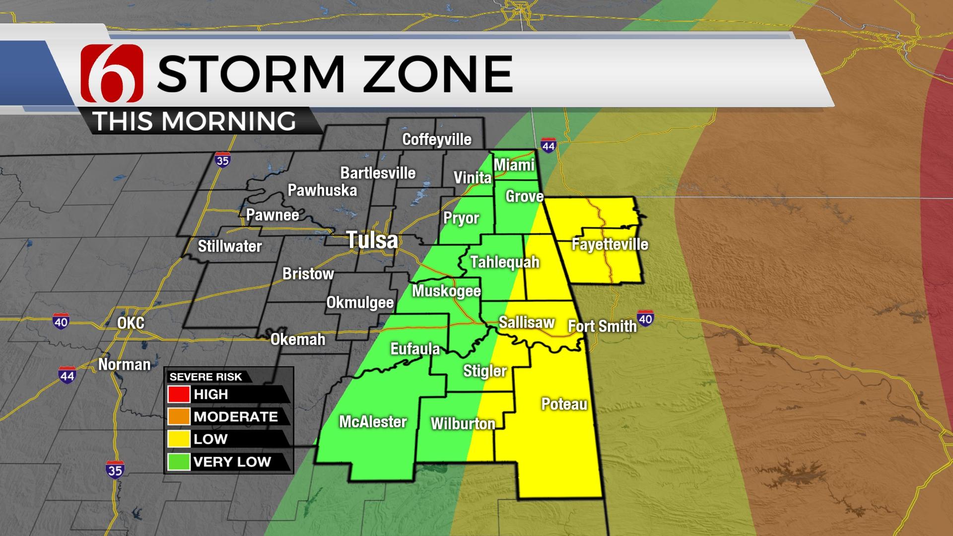
Showers and storms are making their way across parts of the state on Wednesday morning.
Click Here To View The Latest Weather Watches And Warnings Across Northeast Oklahoma
The National Weather Service (NWS) has issued a Flood Advisory for Adair, Cherokee, Mayes, Muskogee, Wagoner and Delaware counties until noon Wednesday and McIntosh, Muskogee, Okfuskee, Okmulgee and Wagoner counties until 11:30 a.m. Wednesday.
According to the NWS, Doppler radar indicated thunderstorms are producing heaving rain and could result in minor flooding for the impacted areas.

Related Story: Severe Thunderstorm Warning Issued For McIntosh, Muskogee, Okmulgee Counties
Click Here For The latest Real Time Weather Updates From The News On 6 WARN Radar
The NWS has also issued a Severe Thunderstorm Warning for McIntosh and Muskogee counties until 8:45 a.m. The NWS says this storm has the potential to produce 60 mph wind gusts and quarter-size hail.
Related Story: Alan Crone Severe Weather Update (7:45 a.m.)